■ 연구 제목 :
드론을 이용한 항공측량 3차원 이미지의 수목영역 추출 및 제거 방법 개발
(eng) The Development of the Extraction and Removal of Aerial Survey 3 Dimensional Image of Shrub Domain Using Drone
■ 수행 기간 : 2016.11 ~ 2017.03
■ 요약 :
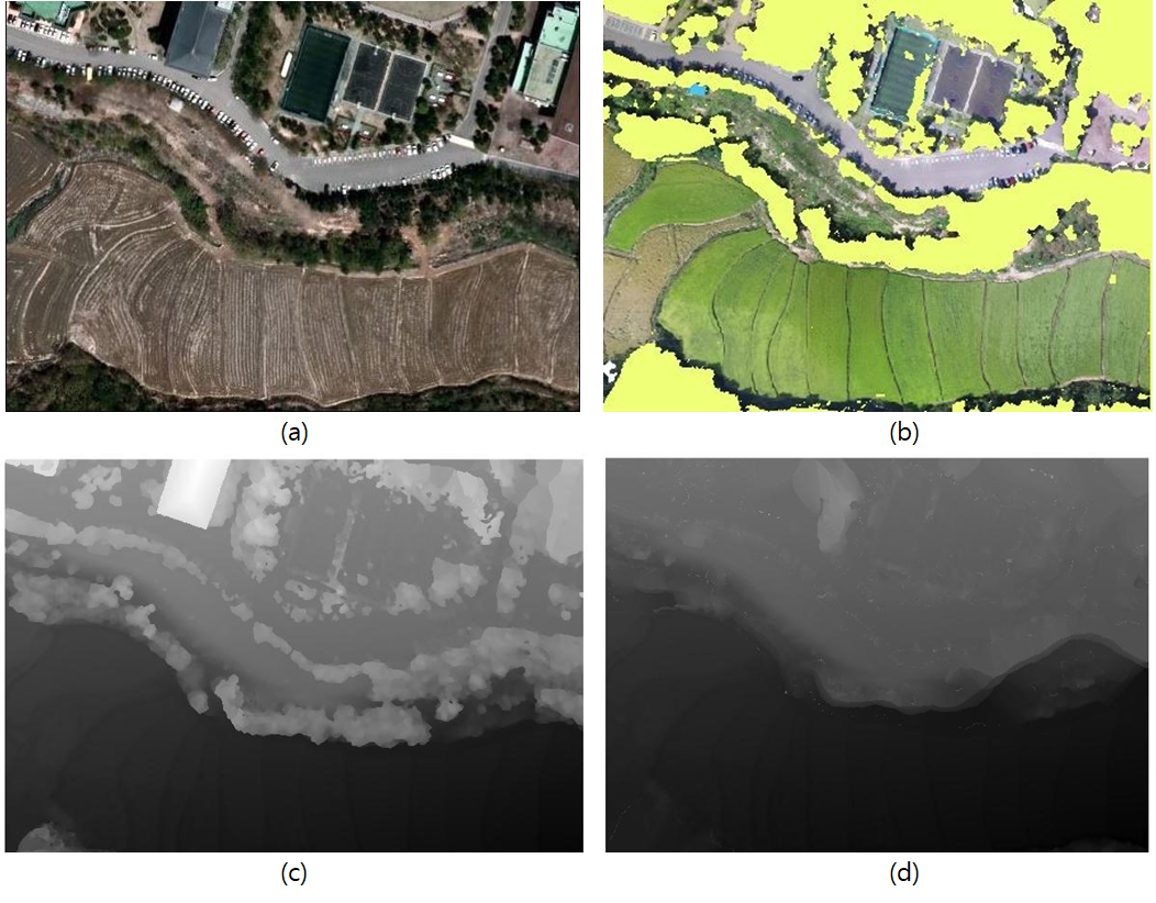
본 연구는 기존 지형 측량방식의 단점을 보안하기 위하여 드론의 항공측량 3차원 이미지를 활용한 지형측량방식을 제시한다. 상용프로그램을 사용해 드론 촬영 영상으로부터 수치표면모델을 얻어내었으며 쿼드트리와 영역확장 알고리즘을 사용하여 수목영역을 추출하였다. 추출된 수목영역의 본래 지면 표고 값을 계산하고 이를 수목영역 값에 대체하여 수치표고모델을 구하였다. 구해진 수치표고모델을 실제 대상 지형과 비교하여 같은 추세를 보이는지 비교/검증한 결과, 미세한 오류를 제외한 지형의 추세가 같게 나왔다. 본 연구는 드론을 이용한 지면 표고 측량의 가능성을 보여주었다.
This research demonstrates a geographical information acquirement method which uses drone to remedy the weakness of the existing topography measurement. The HD camera installed on the drone acquires a video of the target area and uses a program called pix4D to get a digital surface model. In order to get a digital elevation model(DEM) from the acquired digital surface model, the Quadtree technique and region extension method are used to differentiate the ground and non-ground points and the Kriging technique are used to interpolate the non-ground points. As a result, the DEM, which was obtained from the video taken by the drone, was compared with the actual model and revealed the possibility of the measurement of DEM using drone.


.
'Engineer > Projects' 카테고리의 다른 글
| A contaminant transport module in 2D FEM model (0) | 2020.08.31 |
|---|---|
| 2D SPH Model for Pollutant Transport (0) | 2020.05.27 |
| A Study on a Disk Pump using 3D Printer (0) | 2020.03.13 |


댓글